
03/01/2021

Three years ago, Google engineers found a way to combine satellite images of the surface of the Earth by removing them from the clouds and other atmospheric phenomena. This finding has been used to process photographs received satellite Landsat 7 more in 2003. The quality of images in itself was far from ideal, so in fairness it should be noted that in Google did their best to provide the best image map users services.
Time passed, and Google decided to repeat an old trick, using much higher quality pictures from Landsat 8 satellite, owned by NASA and the US Geological Survey. New satellite images have been made relatively recently, in 2013. Accordingly, modern technologies have provided much more detailed and high-quality photos in a much higher resolution.
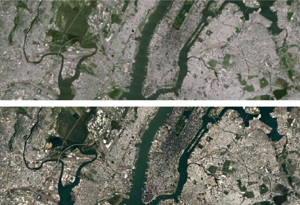
New images for mapping service Google were obtained during the processing of one data petabyte (1024 terabytes). This is a 700 trillion pixels, which, in turn, in 7000 times more than the stars in the Milky Way.
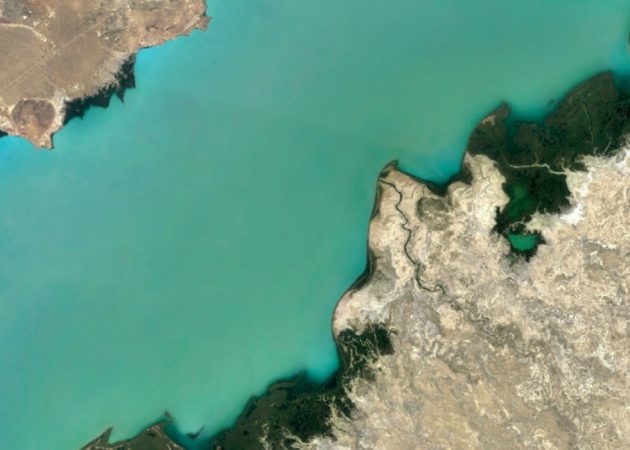
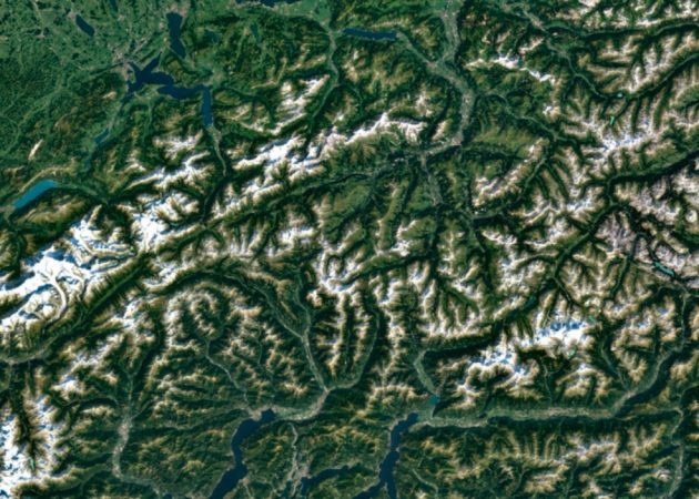
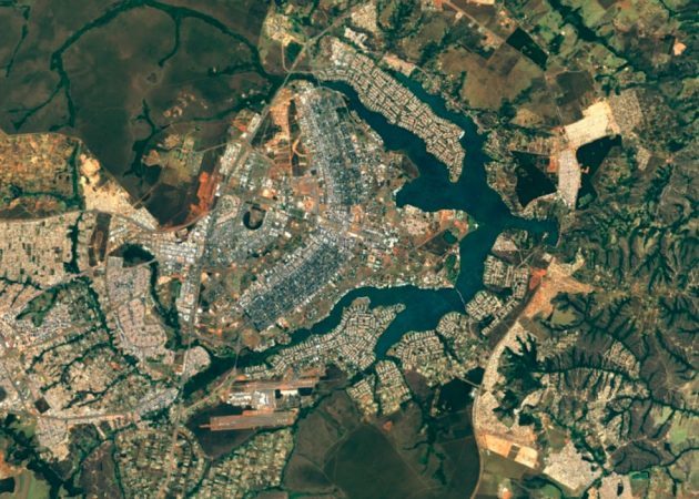
Beautiful figures given the Google, illustrate the least impressive work and its results. Google Maps and Google Earth now look much better and clearer than ever before. On the surface of our planet can be considered the smallest details.
Google Maps →
Google Earth →

